Doolin, Co Clare is a wee village, or it was back in my backpacking days in the 1980s. BAck then it had almost as many pubs as people. OK that’s an exaggeration, but there were quite a few cozy pubs serving buckets of Guinness and dishing up a menu of rich, dark Irish folk music and humour and you spent the night wandering from one to the next. It felt remote and special. Obviously lots of other people thought so too! and today the place is teeming with touristy stuff.
Ten or so years ago it became part of the UNESCO designation - The Burren and Cliffs of Moher Global Geopark - which saw the area receive a huge injection of funds to develop and preserve its geo-special features. The area is riddled with caves and near Doolin is a cave with one of the world’s largest stalactites. The Burren is special for its glacial karst landscape, which I love, and the Cliffs of Moher for its mighty vertical sandstone and shale sea cliffs the highest in Europe they say. We might have to return - off season! to explore some of these wonderful things further.
The Cliffs of Moher are quite impressive but getting near them proved a challenge. Once you could walk the cliffs with few restrictions but now there are designated parking places, turnstiles and fences and .... I know we must preserve such natural wonders and it should be so, but ... !? We drove on and found a turnoff to a cliff walk. A number of Km in off the main road to a small village and then a few Km walk and we were on the edge of the southern end of the Cliffs of Moher at Hag’s Head. Near there are the ruins of Moher Tower, an old watchtower. It stands close to the site of an earlier fortification, known as Mothar or Moher, a promontory fort. The earlier fortification was demolished in 1808 to provide material for a new lookout/signalling tower during the Napoleonic Wars. Similar to the one on Malin Head and many spots along the coast. The landowner is still building paths and fences along this cliff line so there were areas where there were sheer drops. Rather scary, but breathtaking and we were there experiencing it. I love this area!
 |
| Still traveling the Wild Atlantic Way and on into Doolin |
 |
| Very quaint and colourfully twee! |
 |
| The Cliffs of Moher viewed from the northern end at Doolin |
 |
| The official access point. Seeing the numbers on the walkway along the cliffs, we drove on |
 |
| Never underestimate the destination at the end of a country lane! |
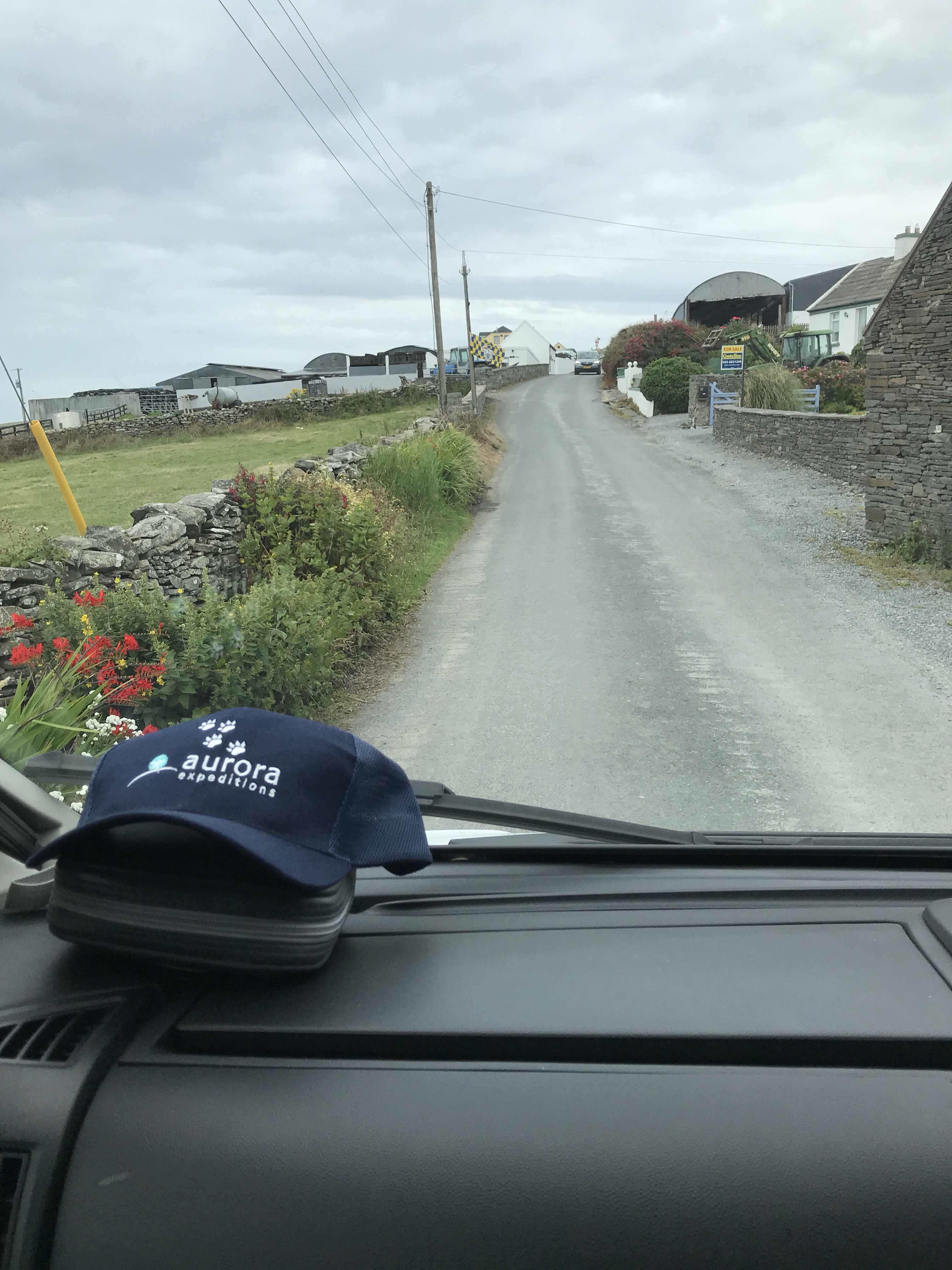 |
| This wee farming village offered some friendly assisted-parking and access to the southern end of the Cliffs |
 |
| A country stroll of a couple of km took us to that distant tower and beyond - and there it was! |
 |
| Moher Tower, the stone ruin of an old watchtower close to an earlier fortification, known as Mothar or Moher, a promontory fort |
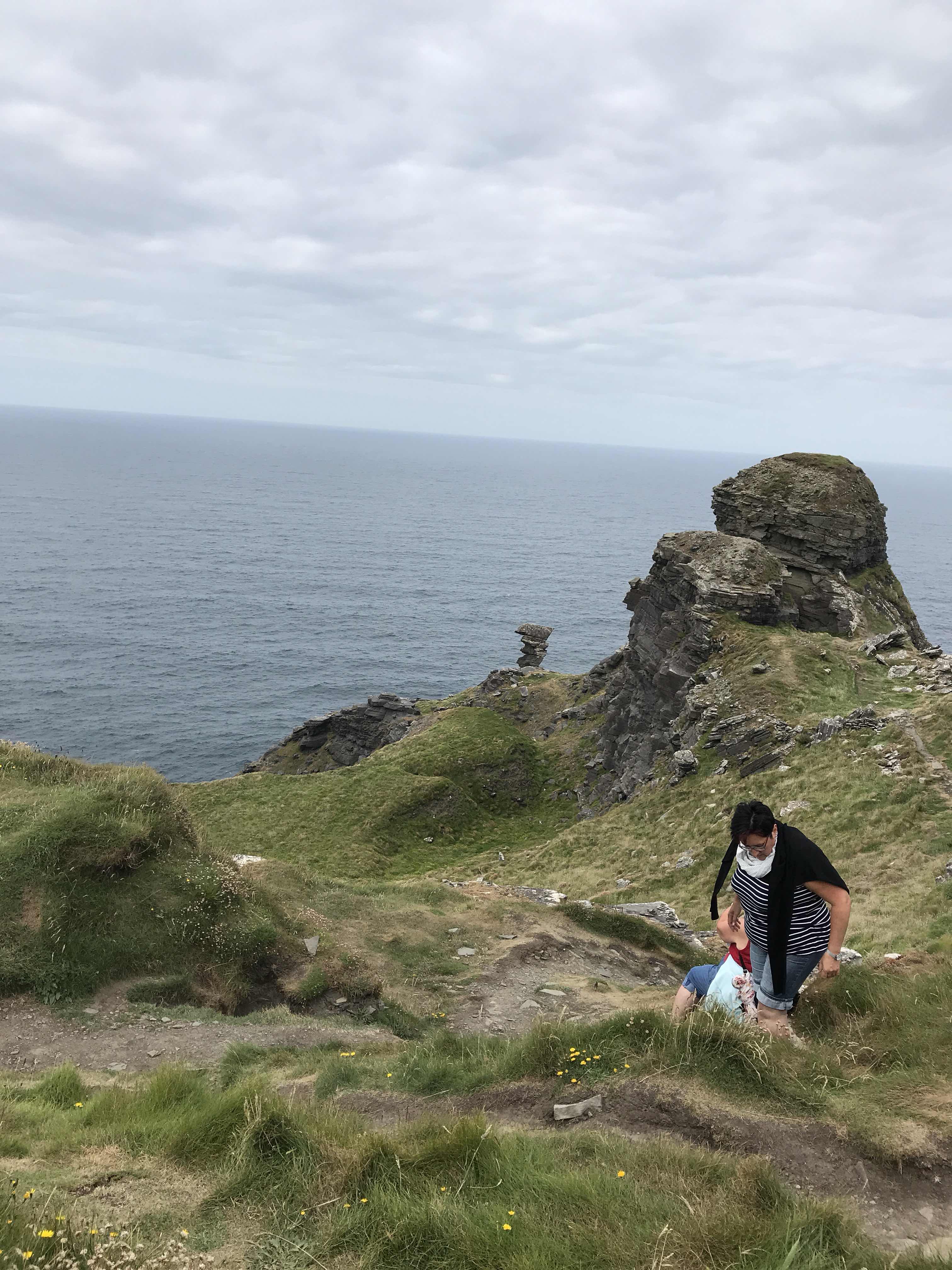 |
| Hag’s Head, the southern and high end of the Cliffs |
 |
| Looking to the south. |
 |
| Looking north and yes we were close to the edge - it was a bit nerve-racking |
 |
| We didn't walk further as there were few barriers and seeing where the cliff was 'repaired' it felt a bit scary |

No comments:
Post a Comment