Sorry where was I? .... After a delicious lunch and reluctantly leaving a gin-tasting at Quinn’s, we piled into a zodiac to take us out to the small boat that would whisk us out past the most western point of mainland Ireland to the Blasket Islands, the most westerly scraps of land in Europe. The origin of the islands’ name is thought to come from the Norse word ‘brasker’, meaning a dangerous place. And therein lies a wee tale. Having travelled through Scotland, particularly the islands, and having been regaled with stories of Viking ‘settlement’ dating back over half a millennium, it was interesting, albeit not surprising, to hear that the Vikings had a strong presence in Ireland in days gone by and that many place names, among other things, bear that heritage.
Now an uninhabited group of islands, the Blasket Islands were inhabited until 1953 by a completely Irish-speaking population, and today are part of the Gaeltacht, the Irish speaking region through which we have spent a lot of time travelling. In 1953, the inhabitants were evacuated by the government to the mainland (much like what happened at St Kilda and elsewhere at exactly the same time), purportedly because of the declining population and harsh nature of life on the island.
But to the wonders of the region. We saw masses of seabirds and a special treat was spotting a small pod of the rarely seen Risso Dolphins. One pair was mum and bub surfacing and diving together. They were beautiful to watch. One very large Dolphin, possibly a male, put on a wee show for us - twisting and turning only to splash back into the water. They are close cousins to the larger whales.
We’ve been travelling on two beautiful peninsulas - Dingle and the Ring of Kerry, with the Skellig Ring an extension of the Ring of Kerry at the end of the peninsula. Magical scenery! Mighty outcrops and cliff of red-purple sandstone.
 |
| This is the zodiac and its captain to take us out to our boat for the Blasket Islands |
 |
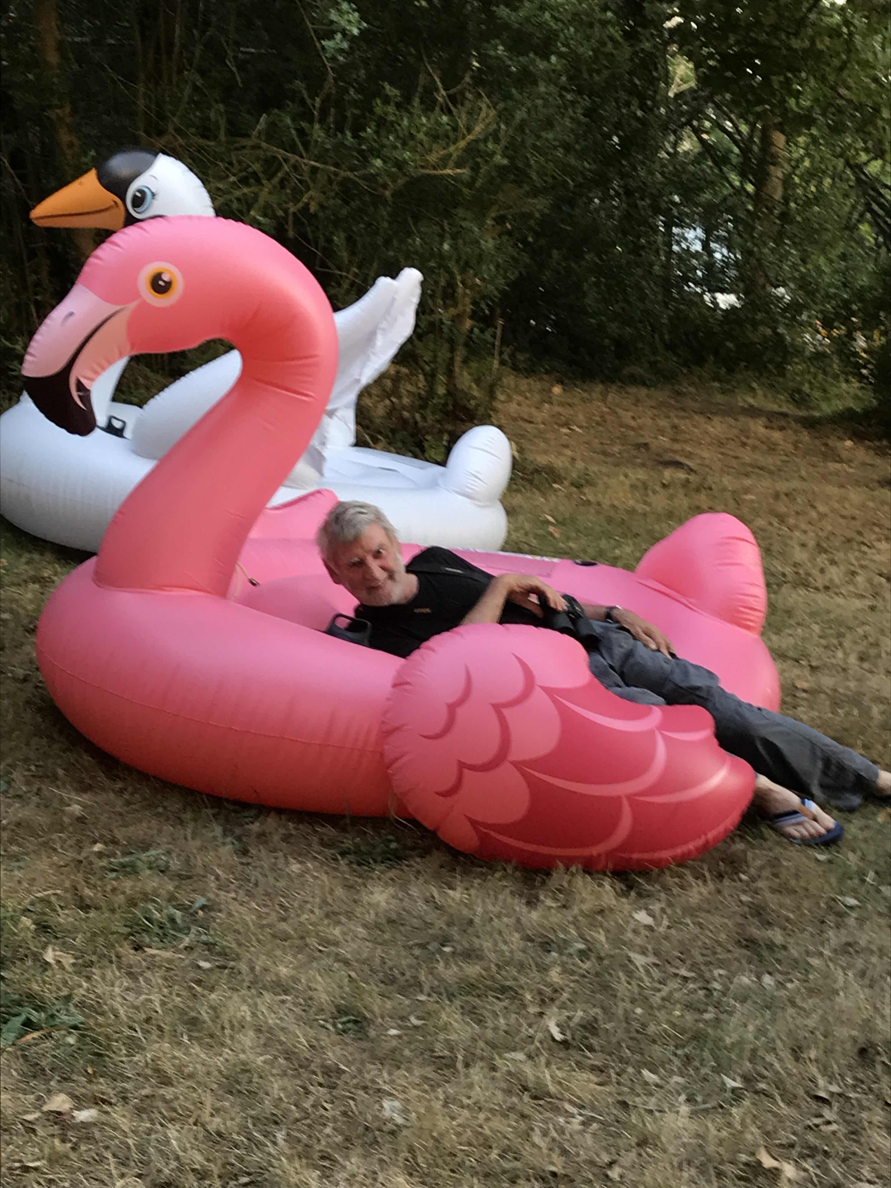
| Oh, so fetching! You have to smile - if only you can get your chin over the ‘Mae West’ |
 |
| I managed to capture this Risso Dolphin coming up for air |
 |
| We saw some spectacular skies. This one was over the rugged weatherside Greater Blasket Island. |
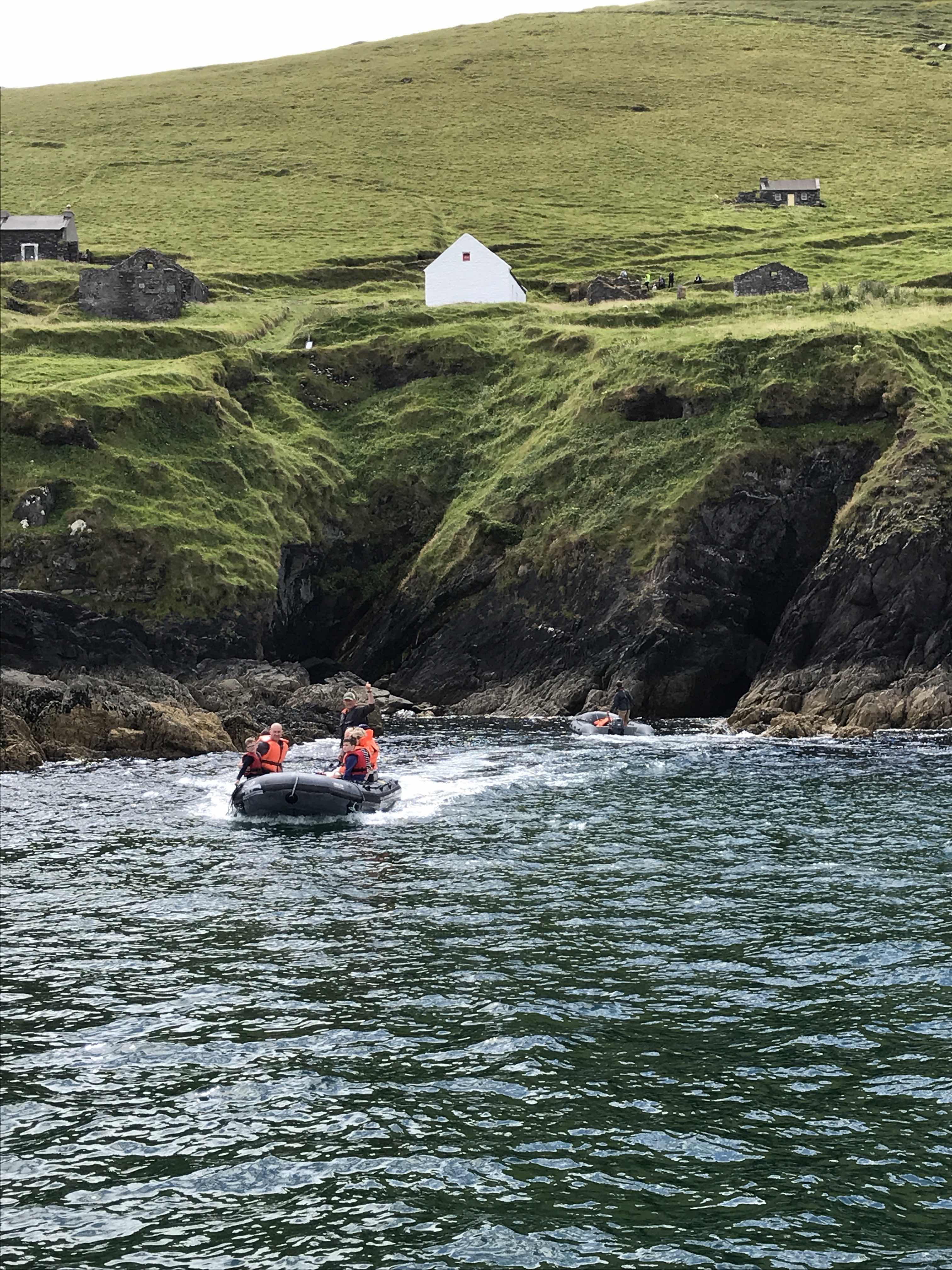 |
| On the leeward side are the remains of an earlier settlement of 200-odd people. |
 |
| Some of the buildings are being restored to encourage summer visitors. These are cafes plus accommodation |
 |
| Cathedral Rock on another of the islands. Jagged and inhospitable. |
 |
| These must be the cathedral doors! |
 |
| Looking astern, the water and sky seemed to blend one into the other in a giant foamy mass |
 |
| Cloud shadows over the hills and the beautiful red sandstone cliffs hemming the mainland |
 |
| This is a small chunk of the beautiful red sandstone |
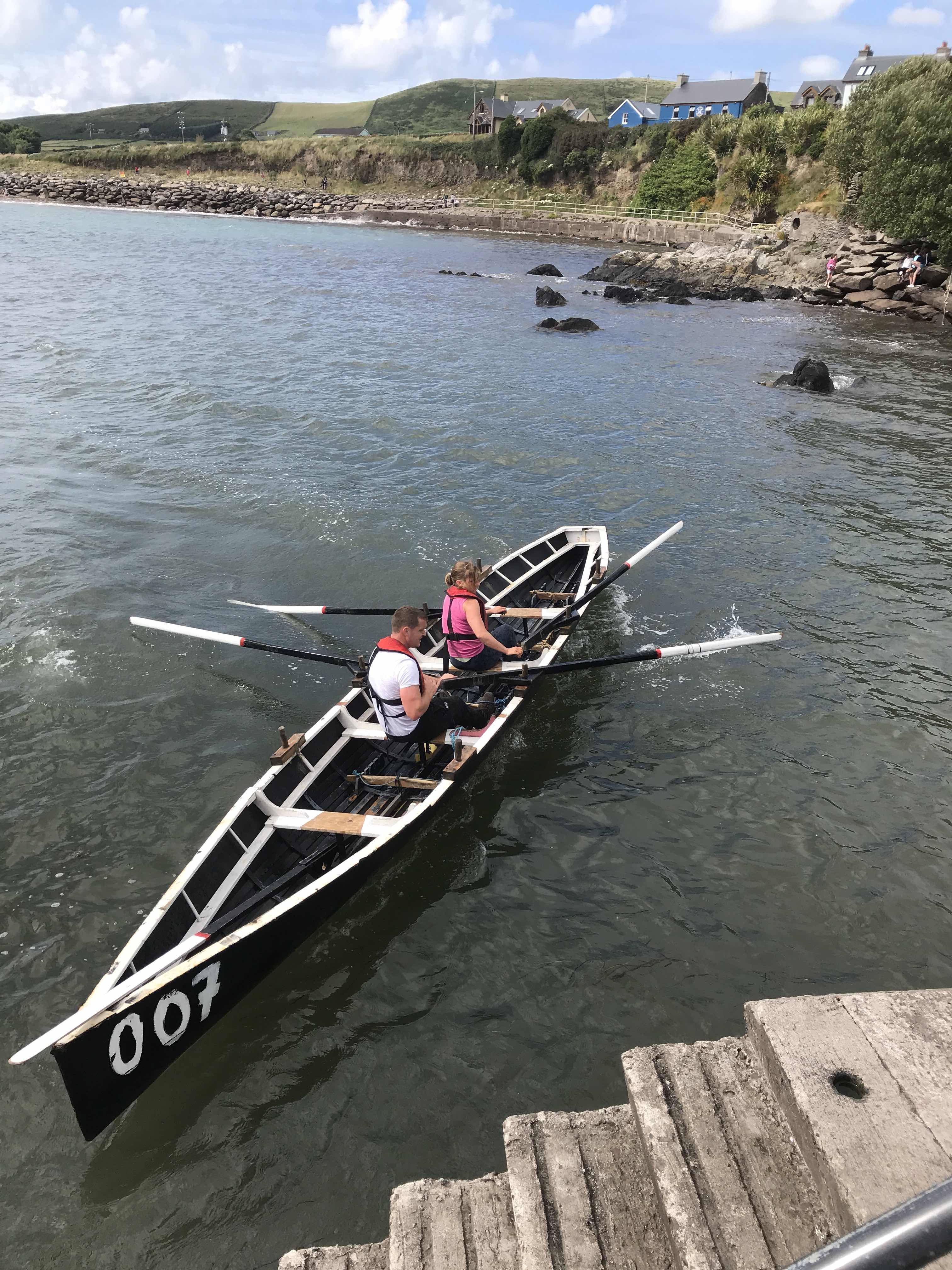 |
| We came back to shore to see the finish of the annual regatta racing in naomhógs - traditional Irish currach (boats) |
 |
| This is the road out to the western tippy-tip. Quite a rugged cliff we were hugging! |
 |
| Rugged and beautiful. This is a pair of Fulmars resting on the wall. They are quiet, gentle birds. |
 |
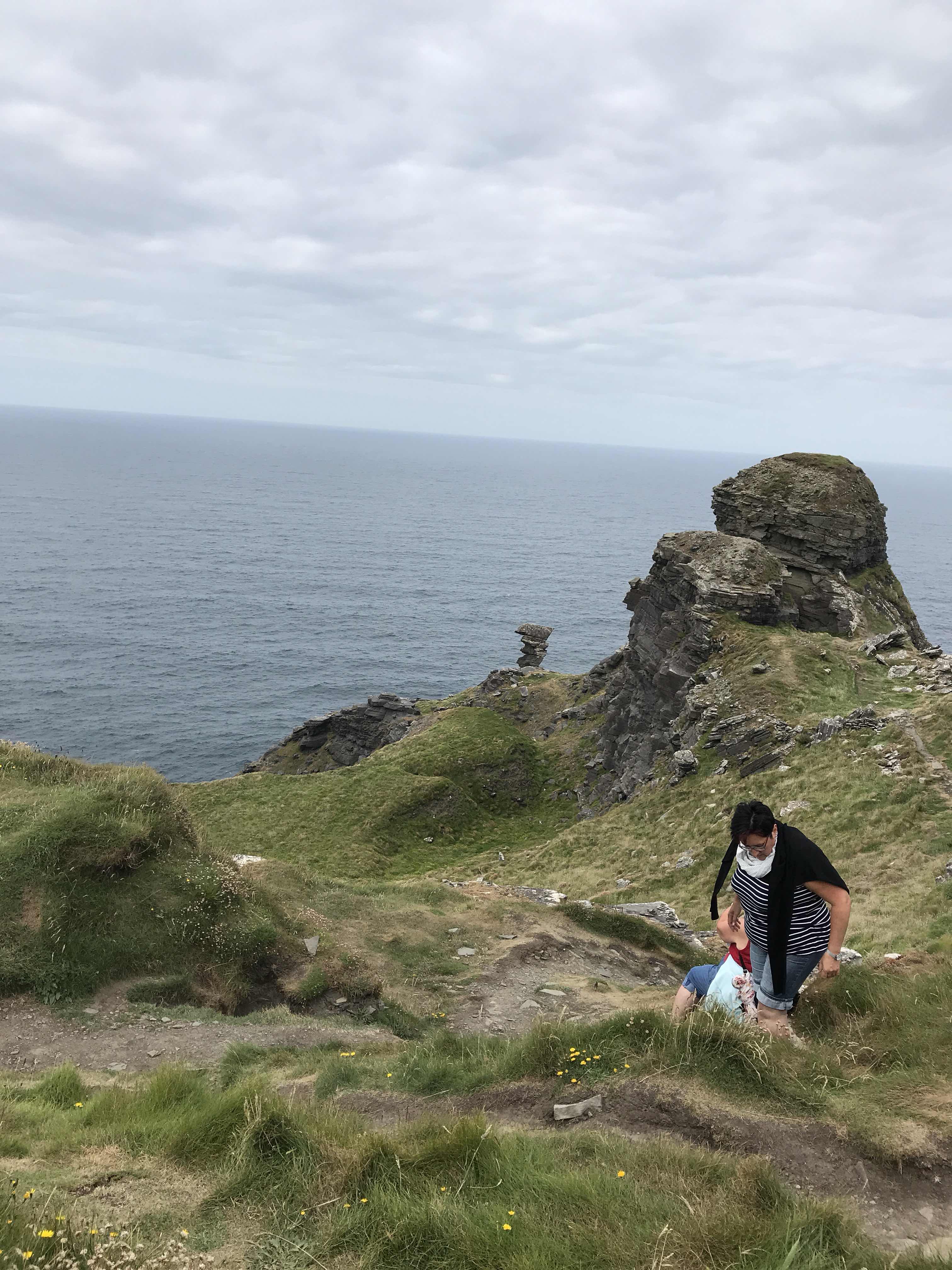
| Path and gateway leading to Dunmore Head, the westernmost part of the Dingle Peninsula |
 |
| We wandered all over Dunmore Head - as far as we dared! |
 |
| This might be one of the Ogham Stones which feature C4-8th inscriptions in the earliest form of the Irish language |
 |
| More Ogham Stones perhaps |
 |
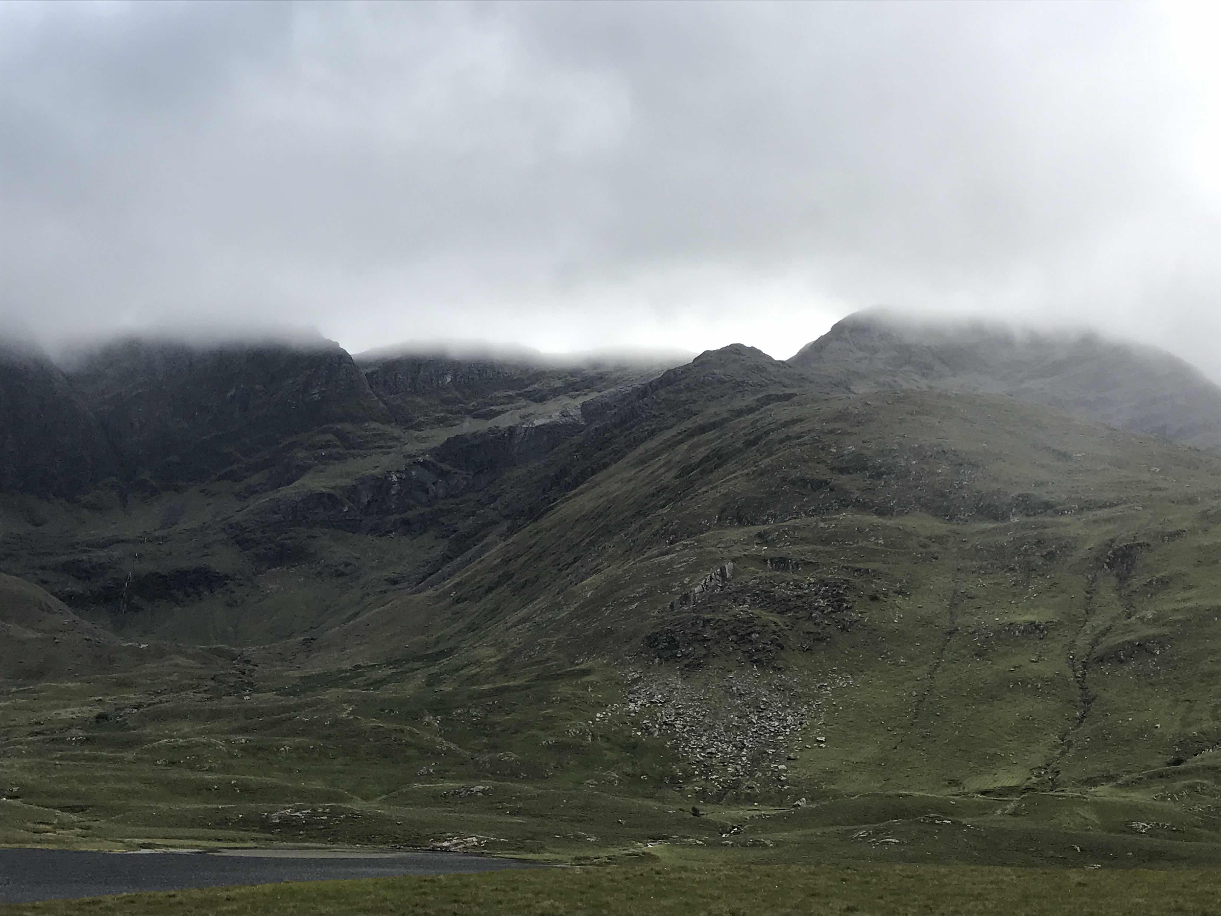
A vista to calm the mind
|