Thursday, 28 February 2019

February 28 - WWI and WWII - a coast at risk!

Underground bunkers, sea planes anchored in Betka River, German mines! 

I’m not a war buff by any stretch of the imagination, but - the mind boggles! Yesterday we visited a WWII Bunker. But rewind a century or so to 1917, the Germain raider Wolf laid mines in southern waters ultimately destroying 14 allied ships. Thirty of those mines were secretly laid near Gabo Island on the night of 3 July.

And the underground bunker? It was the headquarters of the RAAF Coastal Intelligence in the region for radio surveillance during WWII. It was strategically located to monitor and protect the rather isolated southeast coast. With a radar station on Gabo Island and a dedicated phone line (costing £40,000 to build) to Preston Town Hall in suburban Melbourne! where an anti-aircraft operations room was set up, we southern Victorians were sort of protected - except for those poor 38 seamen whose lives were lost on the freighter ‘Iron Crown’ after it was torpedoed. 

One learns so much on the road! It’s a bit like Salome’s dance of the seven veils. Layers of ignorance gradually being stripped away - in my case there’s a baffling, and most likely an incalculable, number of ‘veils’ needing removal. 

This was it built as an air raid shelter or fortification
Gyspy Point
Tranquility


Tuesday, 26 February 2019

February 26 almost the first day of Autumn!

Such contrasts as we have travelled south from Bourke! Gradually we snuck up on green - crops and rich grazing, less stressed trees. South from Lake Cargelligo, Rankin Springs is a lovely little rest spot in the NSW Riverina. Lots of green, trees - and a flock of beautiful Major Mitchell or Pink Cockatoos in a stand of tall Kurrajong trees. Worth a revisit. 

Veering southeast from there, we headed for the high country and the Snowy Mountain Highway.  We had a pitstop for lunch in Tumut where my lovely man brought me a small bunch of Crepe Myrtle to admire while I chomped on a corned beef and pickle sanger.  I love these plants - the colours and delicate softness of the flowers, but I had never really looked closely at the individual flowers. What a surprise! 

What seems like what looks like bunches of tiny flowers is actually a bunch of petals of an individual flower on a panicle of flowers. The petals which are crinkled and curled in and around themselves, are attach with thin stalks to the pedicle. Pop into your garden and start peeking. It is worth the effort to look into the hearts of flowers, all flowers - they are so intricate and beautiful. 

And then it was southeast and upward into Summer Alps - well almost. We travelled through Cooma and Bombala. We were aiming for Mallacoota in the far southeast corner of Victoria. Why? Why not! 

Some of you familiar with Canberra and surrounds will know about getting to the coast - the infamous Clyde and Brown mountains with their steep hairpin descents. With van in tow, we decided not to tackle either, selecting instead a ‘less’ steep road down from the high country via Mount Imlay, south from both those two brutes. 

The Imlay Road starts just south of Bombala, which I discovered was proposed as the site of the parliamentary seat of Australia because it was halfway between Sydney and Melbourne. The rest of that story is history. We made it down to sea level. 

Who’s looking at who!
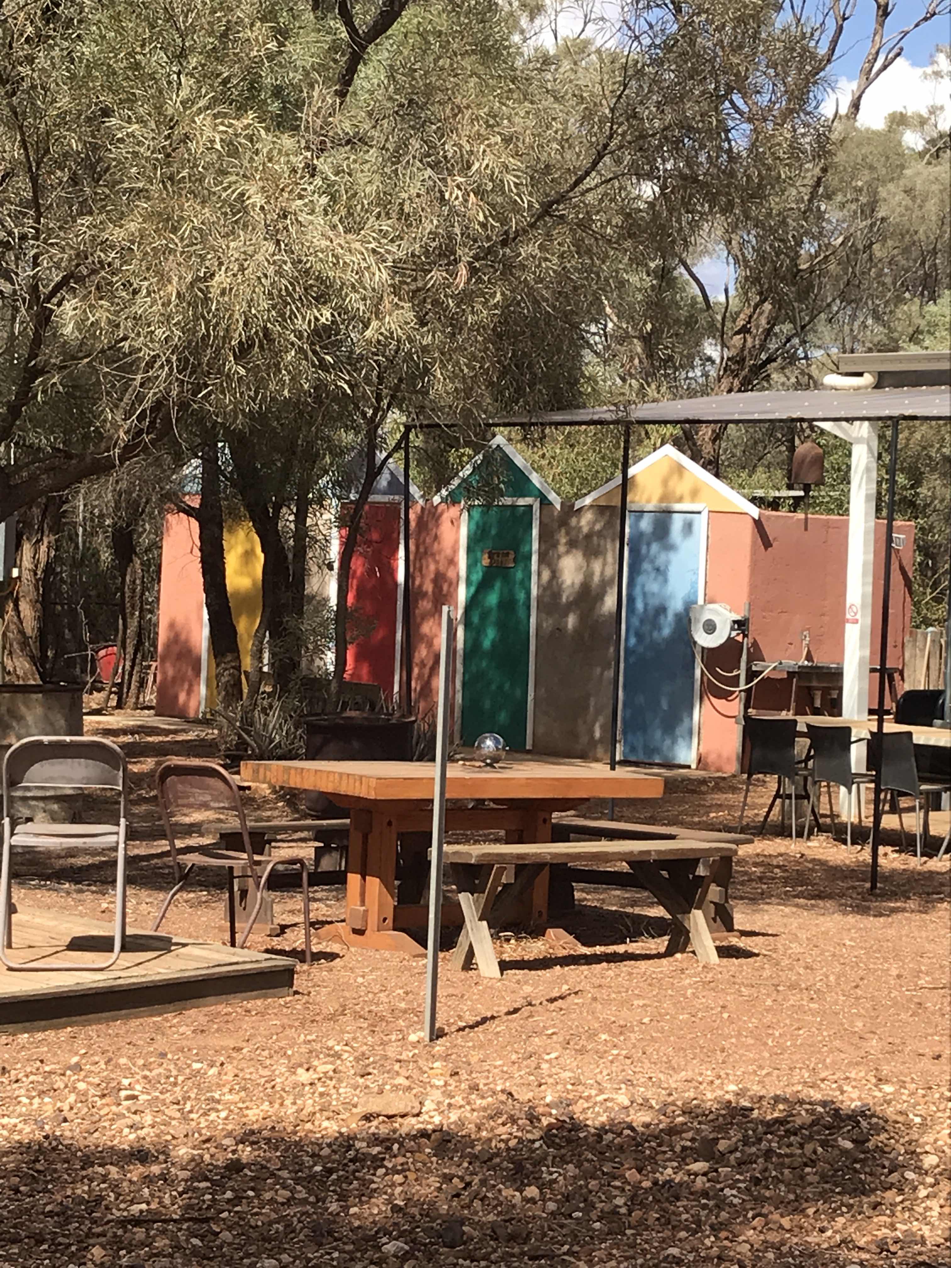
Rather good silo artwork at Weethalle
Fractal! Intricate origami producing a huge surface area, a trick nature employs for many purpose. The lungs for oxygen exchange, the folding of the cortex of the brain! And other things ..
The centre of this 'cluster flower'
The underside showing the intricately crinkled petals
In just a few days the landscape and colours change dramatically
And the ground starts to undulate as we climb higher
High coungry evidenced with snow raod markers
Mt Kosciuszko National Park. It reminded me of Scotland
So beautiful driving through the mountains 
We arriced to peace and tranquility in Mallacoota but the caravan park was crowded!

Monday, 25 February 2019

February - Vegetation and vertigo!

Our travels have not all been about rocks and ancient land. As always the plants continue to fascinate me. It is not the best time of year to view and identify many of them - for a novice like me, even an enthusiastic one - but they continue to draw my eye. 

We picked up a couple of great little brochures in Lightning Ridge - one describing plant sites and the other bird sites around Lightning Ridge. With these in hand, and my trust book on inland plants (I love that book), we took off for the surrounding bush. What an interest day! I learnt so much, but ended up with lots of questions - as always. I have included a mixed selection of photos from that and other places on this trip. 

The vertigo? This stems from travelling too long on very rough roads (knitting all the while) and my head is nearly done in - not surprise really. We could stop ....... who said that? What a silly suggestion!

Poverty bush - not sure which one
One of the dwarf cassia species. Their leaves fold up when touched. Found on Bulloo Downs on the Wompah Gate Road
Myall tree. Beautiful shade trees with soft pendulous branches
Warrior Bush Apophyllum abomalum. This is absolutely choked with mistletoe which is good for the birds
The flower of the Wild Orange Capparis mitchellii. Very similar to the Caper Bush Capparis spinosa
This is the Gruie Owenia acidula also known as Sour Plum, Emu apple plus other names
Hudson Pear. An introduced noxious cactus.
One of many Aboriginal scar trees. The bark from these would have been used to make Coolamons.
The Stiff Cherry (Leafless Ballart) forms tangled understory growth
The Ballart isn’t very pretty but was an important plant for aboriginal people I believe
Feral cactus were everywhere around Lightning Ridge. This prickly pear has fruited but was dried out.
This is a Prickly Pear tree! Never seen anything like it.
A bush 'passionfriut' - possibly a caper variety
A bush passionfruit
It was a competition between me and the ants


Sunday, 24 February 2019

February 24 - the Dowling Track

There are only so many roads in and out of Bourke and I reckon we have travelled just about all of them - goes without saying only those we can take our rig! A week ago on our long, slow homeward journey, we are travelling one more - The Dowling Track linking Quilpie and Bourke through the ‘Plains of Promise’. We started the track from Yowah so we joined the historic track part way at Hungerford on the NSW-Qld border - another gate to open and close along the dog fence!
The track was named after explorer and pastoralist, Vincent Dowling who, with other early pioneers, explored this area looking for a new life and new opportunities. Incidentally in 1859 Dowling established a station at Fort Bourke (now known as Bourke) on the Darling River. It is pretty dry country at the moment, but back in the mid 1800s they saw opportunities and a number of stations were established. Any promises the area might hold depends critically on when you are there!
This seemingly harsh arid area attracted others such as author Henry Lawson who walked from Bourke to Hungerford and back in the sizzling summer heat looking for work in the 1890s. Lawson, who seemed to be an ‘unhappy’ harried wanderer, lived in Bourke for a time and subsequently wrote, “if you know Bourke, you know Australia.”  Interesting observation, but indeed he could be right. Perseverance sort of sums it up! There’s a river ‘running’ through it so the area is productive - some of the time. 
Hungerford on the border between Qld and NSW is a mice neat little place. Like most outback places it has airport - or runway or at the very least a part of the road is marked as a landing strip. Population at Hungerford is 20-odd.
All these red roads might look the same, but they're not! The vegetation varies as does the colour of the dirt
 - and some are less rough than others!!
The border gate between Qld and NSW at Hungerford
You hold your breath as you approach ’river’ crossings hoping that there will be water ....
Fords Bridge Pub. Population less than 10, some days 4. It depends on where you draw the city limits!
Fords Bridge is on the Warrego River

Brindingabba Creek had no water and was rather a sad sight
Great! some water......
... but only in occasional puddles

Saturday, 23 February 2019

February 23 - Rocks and Rosé

Where are we? Yowah. We only learnt about this place while we were on the road. Itis a wee dot in the middle of a cattle station! Wildlife and cattle wander the streets and at the end of the village streets you simply drive into the bush. Or, as we did this arvo, into a public fossicking area. For a mad hour or so, we smashed up rocks with small rock hammers in a futile attempt to find opal. Stupid really not just because it was veeery hot, but opal is buried much deeper than we were tackling. However ..... we did find some quite fascinating sedimentary patterns in rocks when we split them open and that got me thinking. How long did it take for these patterns to be laid down? I reckon we’re talking hundreds of thousands of years and there we were blithely smashing at it - so sorry earth! I  can tell you that our rig is weighed down with rocks we have collected along the way. 

The Rosé? My new favourite cider. It’s delicious icy cold and in continuing high temps, it’s wonderful!
The colours and patterns are fascinating
The public fossicking area at Yowah. We didn’t stay out there long because it was simply too hot.
The plains spread as far as the eye can see from the bluff at Yowah. Rather impressive.
I think that small shed to the right is the departure lounge! 


It was extremely hot and dry but that is fairly normal for this area.  Fortinately they are situated on the edge of the Great Artesian Basin and the towns and stations rely on bore water - unless the rivers run and none are at the moment. Their main bore was sunk over 100 years ago and continues to spurt out over 1 million litres of hot water every day. 

These are ‘bathing boxes’ but with water at 50-odd C I wouldn’t want to slide in! Note there are no roofs
Wetlands created from the bore overflow

The overflow from the bore flows through town feeding plants and animals for a couple of kilometres. Here the overflow collects in two quite large pools of ;cool water;. I stood and watched fish breaking the surface and bubbles from various water life popping on the surface. There were lots of birds around - ducks, kingfishers, reed warblers and other species. A very tranquil place! Lindsay spent quite a few very hot hours exploring several kilometres of the overflow and found plenty of great birds.

Friday, 22 February 2019

February 22 - the Great Artesian Basin

For a while now, we have been travelling over or on the edge of the Great Artesian Basin (GAB) - what an amazing phenomenon (the GAB, not our travels!). On our way to Yowah today we came across a series of mud (or mound) springs near Eulo. Such pressure-release valves as these, are a feature of the GAB - that’s a bigger story which I will leave to you to pursue for homework! Needless to say the water of the GAB ‘bubbling’ up through natural springs, such as these, or through drilled bores, is the life blood of arid inland regions like this and further south and west. 

If you think about it, much of the water of the GAB is really ‘fossil’ water having collected over millions of years. And because of the ageing process as well as high temperatures and pressure, the chemistry of the water is different to that of rain and surface water. As a result and because of  the relative isolation of most springs, they are habitat to some unique plant and animal species most of which are listed as endangered and thus protected. Fascinating creatures really, for example the ‘water-holding frog’ that spends most of its life underground sealed in a waterproof cocoon and the shield shrimp. 

The spring we saw was pretty dry, but the tops of the mud springs are usually soft and jelly-like (although the mound spring we found along the Oodnadatta Track some years ago had water in it - perhaps a different kind of beauty). However .... these mud springs occasionally explode making a sound loud enough to be heard for many Km. And no we are not going to hang around to experience it! 

My head is hurting - too much to absorb!

One of the mud springs at Eulo
Worth a read
Yapunyah tree Eucalyptus ocrophloia
The trees are pretty stressed here and so was Lindsay - bloody flies!

The Yapunyah tree (Eucalyptus ocrophloia) is gorgeous. When I saw these I thought they were Desert bloodwoods, which I love, but no.  These beauties seem to love to live near water. Their upper trunk and branches are a deep glossy red-brown. Their flowers are so abundant and rich in nectar, beekeepers from across Australia bring their hives to Eulo to collect the rich honey. I must look for it!

Thursday, 21 February 2019

February - opalised fossils

Once a forested plain near ‘Australia’s’ ancient inland sea, Lightning Ridge is world famous for its stunning black opals and fossils including opalised plant and animal fossils. It is in fact one of only a couple of places in the world where you can search for opalised fossils. Amazing place!

Each year, the Australian Opal Centre (AOC) and the Australian Geographic Society organise a couple of 6-day intensive digs to search for these fossils on the opal fields here.  And we registered to join them next year in August .....yippee!! The Dig will be led by a team of palaeontogists and other experts so we expect to learn heaps. It will be a rare and wonder-filled experience. Thankfully it will be cooler!