Wednesday, 20 February 2019

February - gold, opals and rocks!

You may have picked up a thread of subtext running through our journey - fossicking and opals! Starting in NE Victoria panning for gold, we swung through White Cliffs (opals) then on to Tibooburra (gold) and then propped for a bit in Lightning Ridge (opals). All very interesting places, but I have since discovered a number of other opal fields - well there had to be really, didn’t there!  West of Lightning Ridge and north of Walgett is another area rich in opal - Grawin plus two adjacent fields. We took a side visit there of course - and had a coldie in the Grawin ‘Club in the Scrub’. So where are we now? 

Grawin Pub (pronounced like Darwin)  is actually a licenced club and you have to sign in!
The opal dump at Grawin. Unfortunately NO public fossicking allowed

Tuesday, 19 February 2019

February 19 - Car Door Tours

Lightning Ridge is well worth a visit - even if you’re not interested in opals! We took a few simple self-drive guided tours ‘Car Door Explorer Tours' - so much to see. Here are some images from our explorations. 

This the Green Tour - number 7

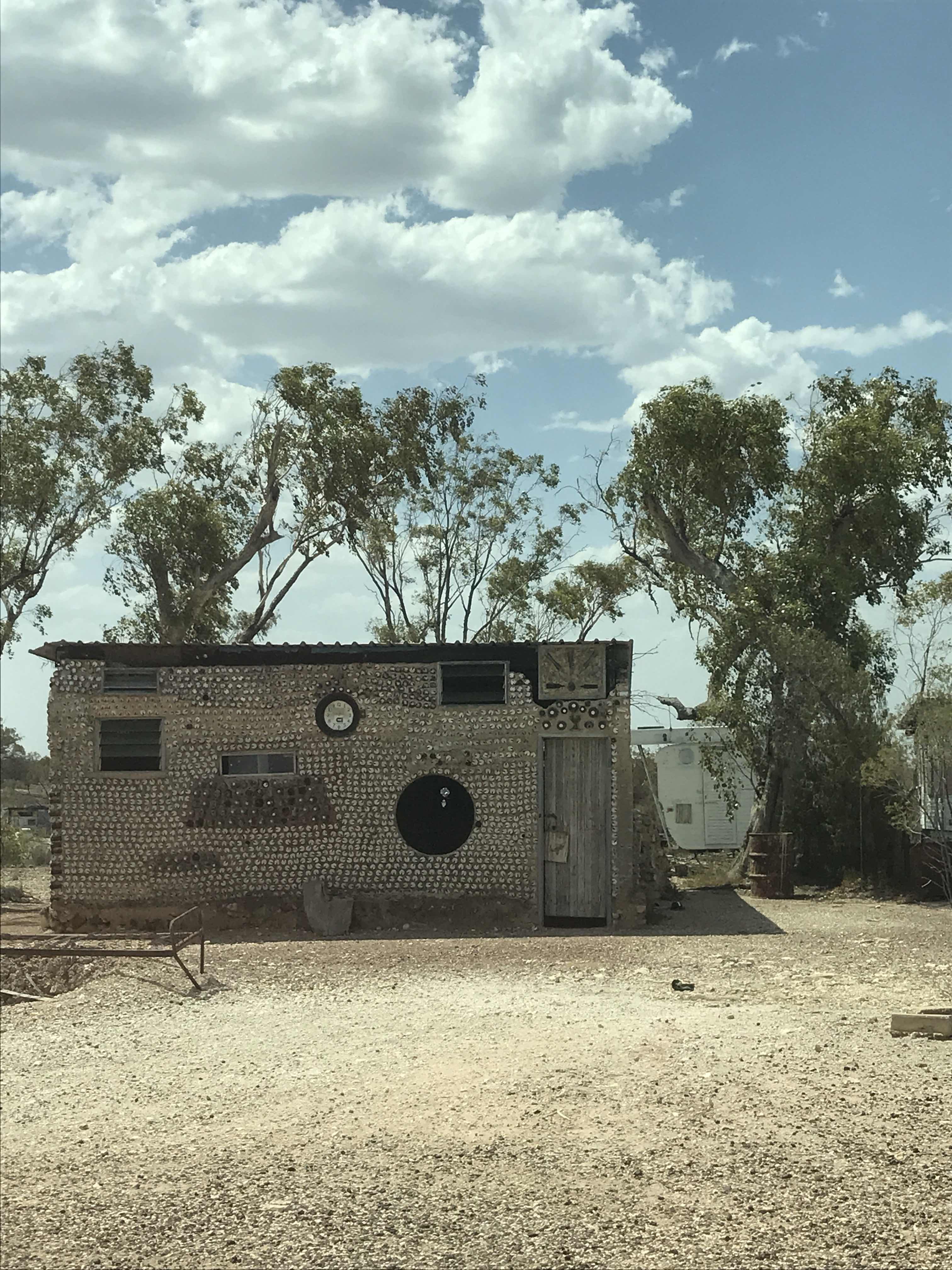
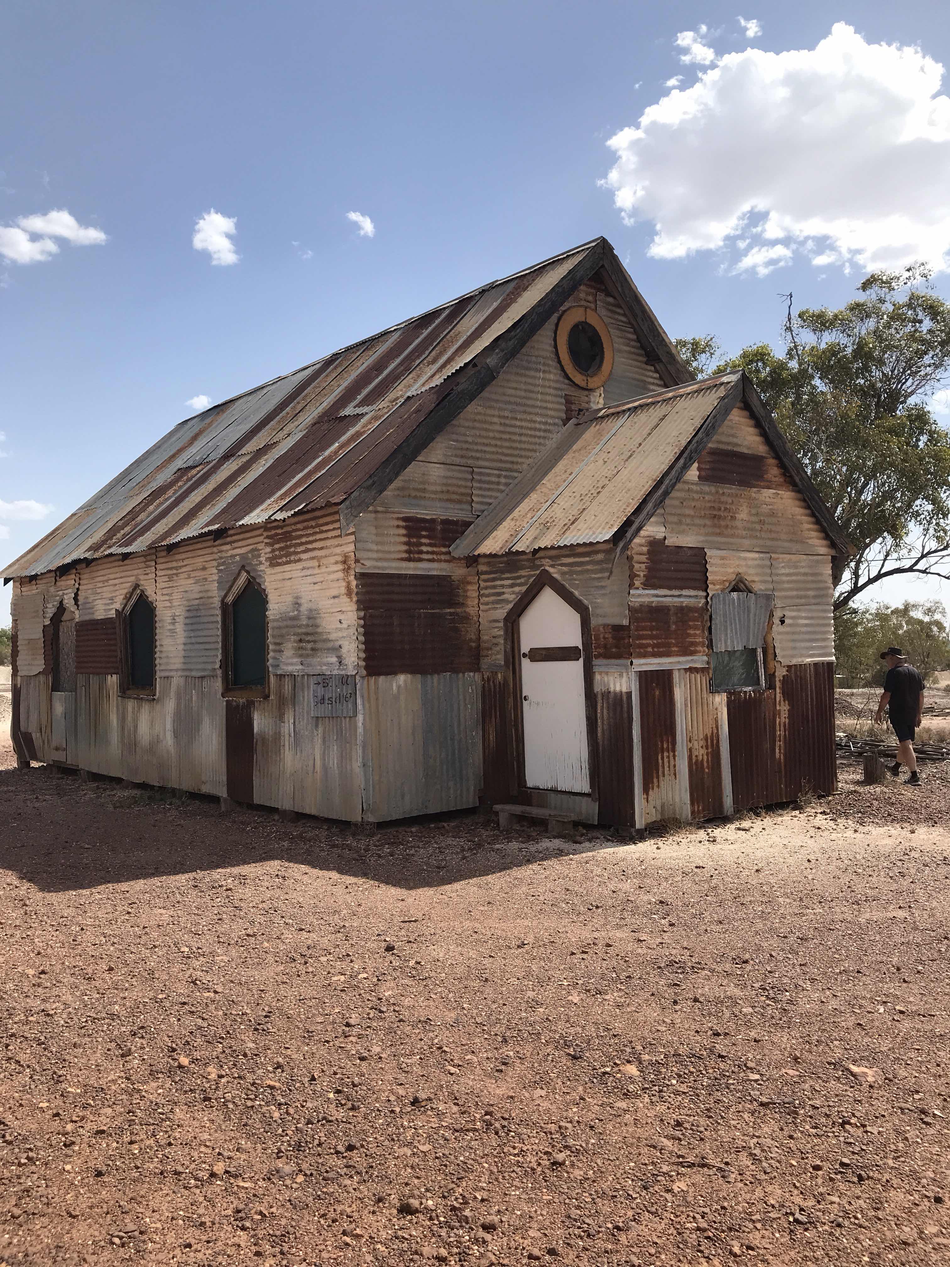
Old and not-so-old car doors are used as markers for self-drive tours. You need to understand that around opal mining fields cars, but mainly trucks, are stripped down for their driving parts to bring excavated soil to the surface plus a myriad of other uses. The doors? Who needs them! These tour markers are perfect - very creative. The dwellings are a whacky mix of tumbled down shacks to castle-like structures amd are made from an amazing array of materials from stones and rocks to bottles and cans. And there is a Corrugated Iron church! This was purpose built for the film 'Goddess of 1967'.  I think that in spite of appearances, it is occupied. 

A wonderful new structure is being built ot house the Australian Opal Centre. It is an ambition concept but timely particularly given that opals are the national gemstone.  The stone is famous throughout the world for its brilliant colours. According to indigenous stories, a rainbow created the colours of the opal when it touched the earth.  The new AOC which will be mainly underground or at least built into the earth, is scheduled to be completed in 2025.

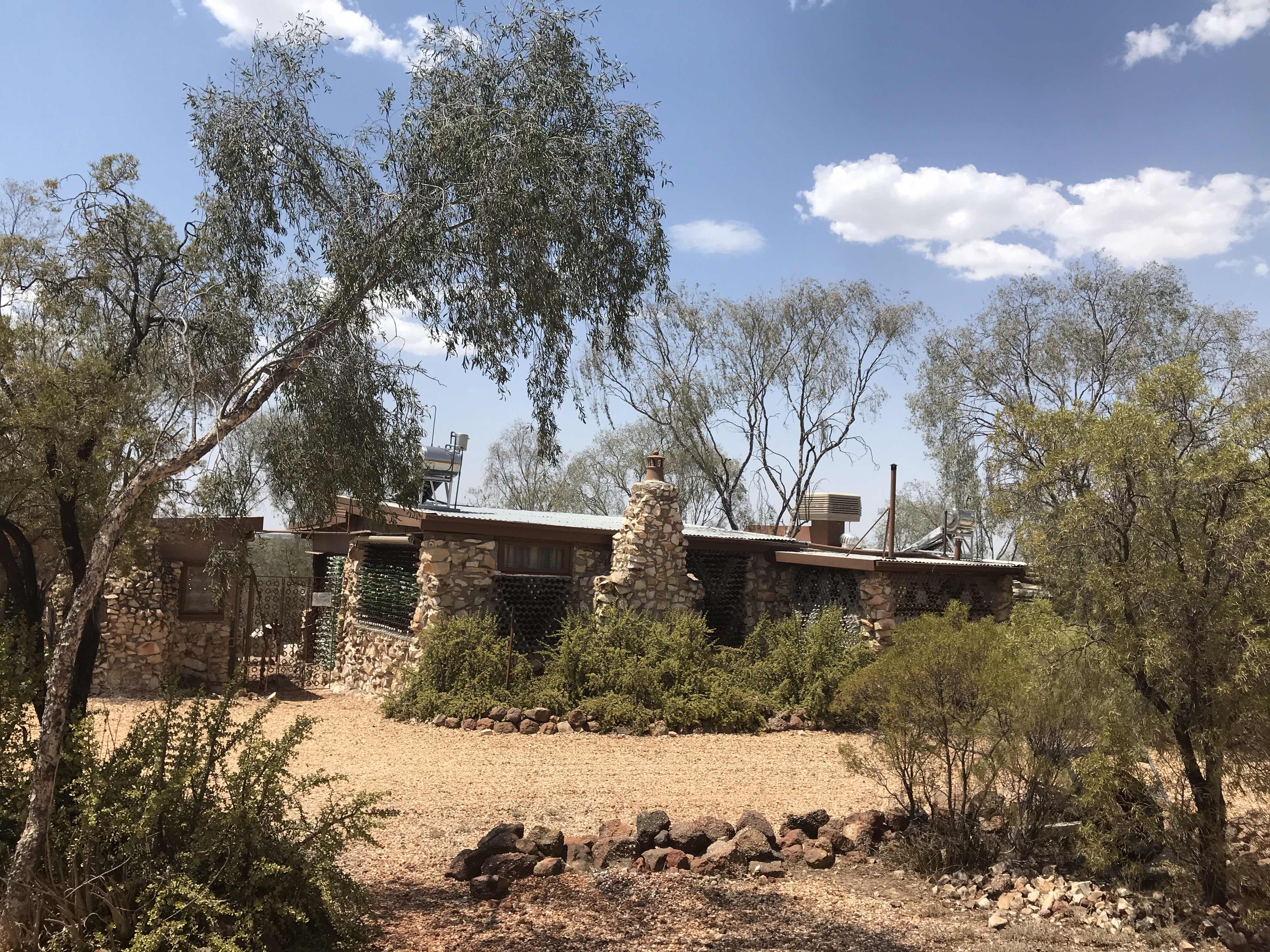
The houses are made from whatever people can drag here!
Bottles and cans and stones - they are all part of the ‘village’


February 19 - exploring ironstone ridges

Still on the trail of the Caper White Butterfly and  battling 40-odd C temps,  panting like the poor birds around us. But what a place this is! I’ve found just where I want to be - if I decide to go off the grid (a little more!) and go a bit ‘feral’.  Nebia Hill about 3 Km west of the Lightning Ridge township. 

It is an Ironstone ridge, which attracts lightning - a namesake you might think, and it grows lots of Ironbark trees. More importantly, I found lots of Wild Orange (Capparis mitchellii) as well as Poplar Box (Eucalyptus populnea). According to what ‘they say’, both of these trees are indicators of where opal can be found. The Wild Orange tree has a 25m root system and, in Lightning Ridge, the large Poplar Box (also known as Bimble Box) are regarded as evidence of deep roots enticed by water percolation through deep fissures, a necessary factor in the formation of opal. Sounds good to me, but there are lots of ‘hypotheses’ and folklore about good opal indicators. Who am I to question the locals? 

Capparis mitchellii the Wild Orange tree. Its fruit looking for all the world like oranges!
The Wild Orange flower - not at its best

The leaves of the Poplar Box are soft and delicate with shapes ranging from tear drop to round. They glisten when the sun strikes them. Quite lovely

Opals or not, one could spend loads of time sifting through the gravel pits. Here on Nebia Hill, and probably other places, they contain petrified wood, jasper, quartz, agates, clear topaz plus plus. 

It, well actually most of Lightning Ridge, is a place where there is a healthy irreverence for convention. So the structures are whacky and colourful, and the incidental and other artwork is highly ‘creative’. I just love it! 

The mining fields are less brutal here in Lightning Ridge than in Coober Pedy
Overlooking the black-soil plains, Nebia Hill is the site of the first hand-dug shaft ~1900;
the opal rush started c1905

Monday, 18 February 2019

February 18 - on the road to Lightning Ridge

What a day!  We started with sizzling hot savoury pancakes de tour (made with leftover anything) in Bourke and ended with delicious freezing cold Sav Blanc in Lightning Ridge - opal desert country. Lightning Ridge wasn’t on this ‘itinerary’ but I love the place so why not! Perhaps we’ll do a little opal noodling tomorrow - in the broiling sun. I’ll tell you about the Australian Opal Centre later or ....

We took the scenic route to Lightening Ridge and passed through the delightful village of Goodooga northeast of Brewarrina. En route I spotted a really unusual plant - the Warrior Bush (Apophyllum anomalum).  It is host for the Caper White Butterfly which, according to the pundits, probably migrated into northern Australia with their food plants during the Oligocene which was about 20-35 million years ago. The Warrior Bushes which stand out against the surrounding vegetation, were dotted about the landscape as we drove. Most bushes are bare up toc attle head height as the cattle love to brpwse on the young branches and fruit. Interestingly the Warrior Bush is related to the Wild Orange Tree (Capparus mitchelli) which in this area is regarded as an indicator of opal-bearing ground. I will be on its trail tomorrow!  

Travel is such a great an education - see a tree and a voila! a lesson in geology - or something like that. As Miriam Blaker (Out an' About) says “Enjoy the journey and the destination whether it’s your first or fifth time. The real voyage of discovery consists not of seeking new landscapes but in having new eyes.”

A sad little church in Goodooga
Warrior Bush
These wily Roos enjoyed the sprinkler and grass - until the park owner came and shooed them off


Pancake de tour - leftover veggies and anything else plus onions (using Mum's age-old pancake recipe)

Friday, 15 February 2019

Valentines Day plus one - wine, wind and wonder

And so to one of the aims of this trip - to drive the Darling River Run! After years attempts waiting for the roads to be open when we’re there, we did it - at least from Brewarrina to Wentworth over 800Km. Hooray!

The Darling River system is huge. From Walgett to Wentworth where it meets the Murray, it measures about 950 km; the third longest river in Australia. Its source, a matter of some debate, is a collection of rivers and creeks which fan out like unravelling rope snaking east and north into Queensland.  However from somewhere around Walgett (Aboriginal meaning ‘meeting of two waters’) where there is confluence of major tributaries, the ‘river’ flows on to Wentworth where it joins the Murray.  It is the lifeblood of the NSW outback - if they get the water! A destroying combination of low rainfall, damming and cotton (damning!) - diabolical! 

I’ve talked about the busy river trade, ports and bridges along the extent of the river so now let me tell you about the last leg of our little adventure along the Darling between Bourke and Wilcannia and back again - a round trip of close to 700Km. 

It was awe-inspiring in its vastness - the diversity and ruggedness, the colours and textures of the land were fascinating to see and to experience. Endless stretches of flatness, beautiful trees, bare earth, scrubby dry saltbush and grasses, brilliant patches of green where recent rain had stirred dormant plants to raise their hopeful heads. Along its course, the river varies from scattered water holes (when we were there) to a width of 80Km when in flood.  Interestingly it seems that salinity is not a new phenomenon (although it is increasing).  Along the river there are four lift span bridges built in the 1880-90s to allow the paddle steamers pulling barges loaded with wool and supplies to pass up and down the river. Explorer Charles Sturt named the Darling ‘Salt River’. Chunks of the region have been designated National or Conservation Parks so hopefully that might give the land a little time to recover - if the stock is kept off it. The dryness is sad to witness and the struggle to survive that the graziers are facing is heartbreaking. We passed one farmer and his family dragging dead cows into a pile to be buried having been poisoned by hay that had been brought in the help feed his stock. He lost 80-odd head and more were at risk. Tragic! 

The quietness was a balm - in spite of the heat and wind, the dust and rough roads (we saw only one or two other vehicles). Being out there in that stillness away from it all, you come back to what’s important, you come back to yourself. It’s wonderful! 

The road was full of surprises
The end of a memorable day
This was the halfway point on our adventure on the Darling River Run. We ended our first day camped out on the ‘flood’ plains of the Darling River. Life doesn’t get much better than this! Silence but for the whispering of wind across the plains and the quiet mumbling of birds. Loving life in our own little utopia!
Outback sunsets are soft as the landscape is harsh and unforgiving

The journey was a tad taxing physically because the road was badly chopped up in some places, corrugated and/or deep in sand and dust in others. We saw lots of evidence of past flooding with wide swathes washed away to form undulating renuded hills and in places deep gullies. The van? Not too bad all things considered. Bloody good rig and driver combo!! Two intensive days - we celebrated with bubbles in Louth on our return trip. 

The Louth pub. We stayed in the caravan ’park’ beside the pub on the way back to Bourke
One of the four liftspan bridges built in the 1880-90s along the river. This one is at Louth
At Louth, and elsewhere, the river is just a series of  scattered waterholes


The Tilpa pub is corrugated inside and out and almost every inch of wall and ceiling is written on.


Copperbur has forced its way up through the now drying mud
A lot of saltbush popping up is perhaps a sign of recent rain. It provides feed for the cattle

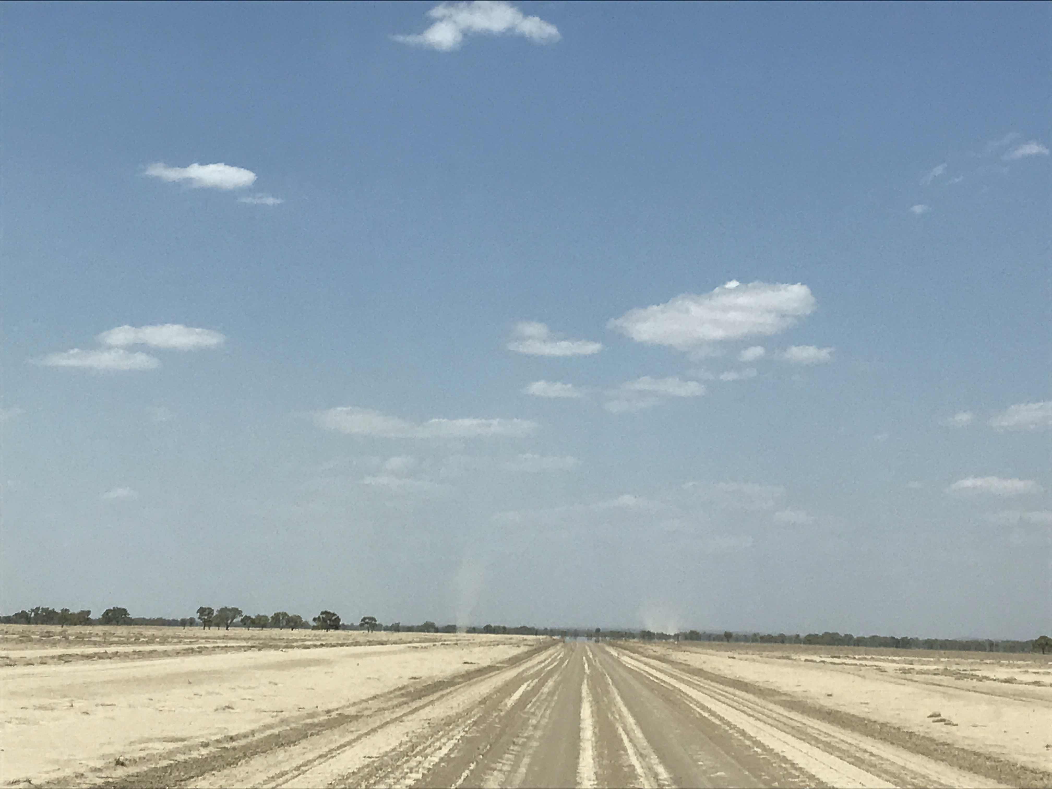
What an expanse! The horizon was punctuated with countless columns of dust rising high in the air
Almost park-like - but for the lack of grass!
Sign of rain not too long ago. The surface of the mud was shrinking up in curls like wood shavings
A bee hive in a tree hollow.  Good to see insects in this arid land. 

Wednesday, 13 February 2019

February 13 - following the Baiame Dreaming track

The Gundabooka National Park, which lies about 50Km south of Bourke, has geological as well as aboriginal significance. Mt Gunderbooka in the southern part of the Park is an outcrop of Devonian sandstone over 300 million years old and sits near the edge of the Great Artesian Basin.  The Park is home to some beautiful flora and fauna some of which are endangered, but that is a whole other story - we were there to see the rock art!

The Gunderbooka Range, which rises 350m from the surrounding plains, has great cultural and spiritual significance for the Ngemba (stone country) and the Baakandji (river) people. It provided a range of water and food sources and was used for large ceremonial gatherings with tribes coming from as far away as the region we now know as Broken Hill over 500km away. We were here many years ago but the path wasn’t clearly marked so we turned back fearful of getting lost - echoes of Picnic at Hanging Rock and it was close to Valentine's Day afterall! Now the path is fairly well indicated with marked  sticks and rocks placed close enough so hopefully you won’t get lost. And then there are also some beautiful rock slab paths which were a very welcome sight.

There are lots of walks and things to see and do in the Park but the ancient rock art was our main focus. Just a few km walk over the rocks, across a now dry creek bed and then a short climb and there it is protected from the elements under a rocky shelf.  It was a marvellous experience and the art work wonderful! 

This is the flat bit!
An excellent stretch of path
... and the path is where?
The rock art site is on the other side of that gorge up ahead
The trees and rocks were rather splendid and the colours .... endless
We passed patches of vivid almost unnatural acid-green lichen along the way
Sadly the creek doesn’t look like it’s seen water for a long time but that made it easier for us to get to the rock ledge
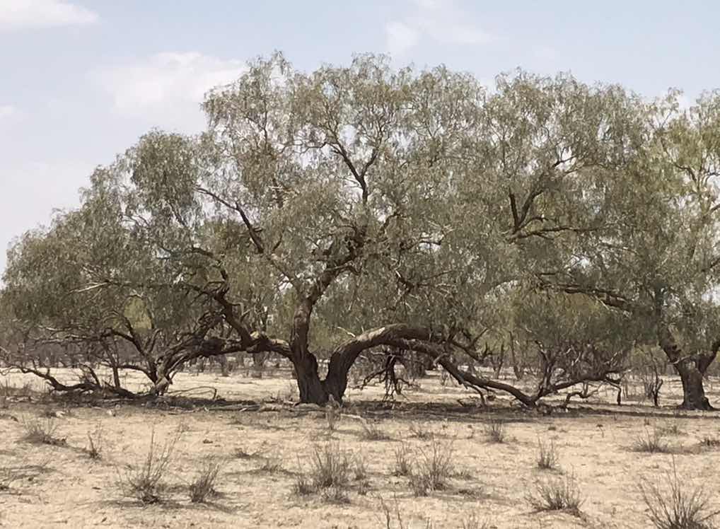
Majestic tree suffering a bit of stress
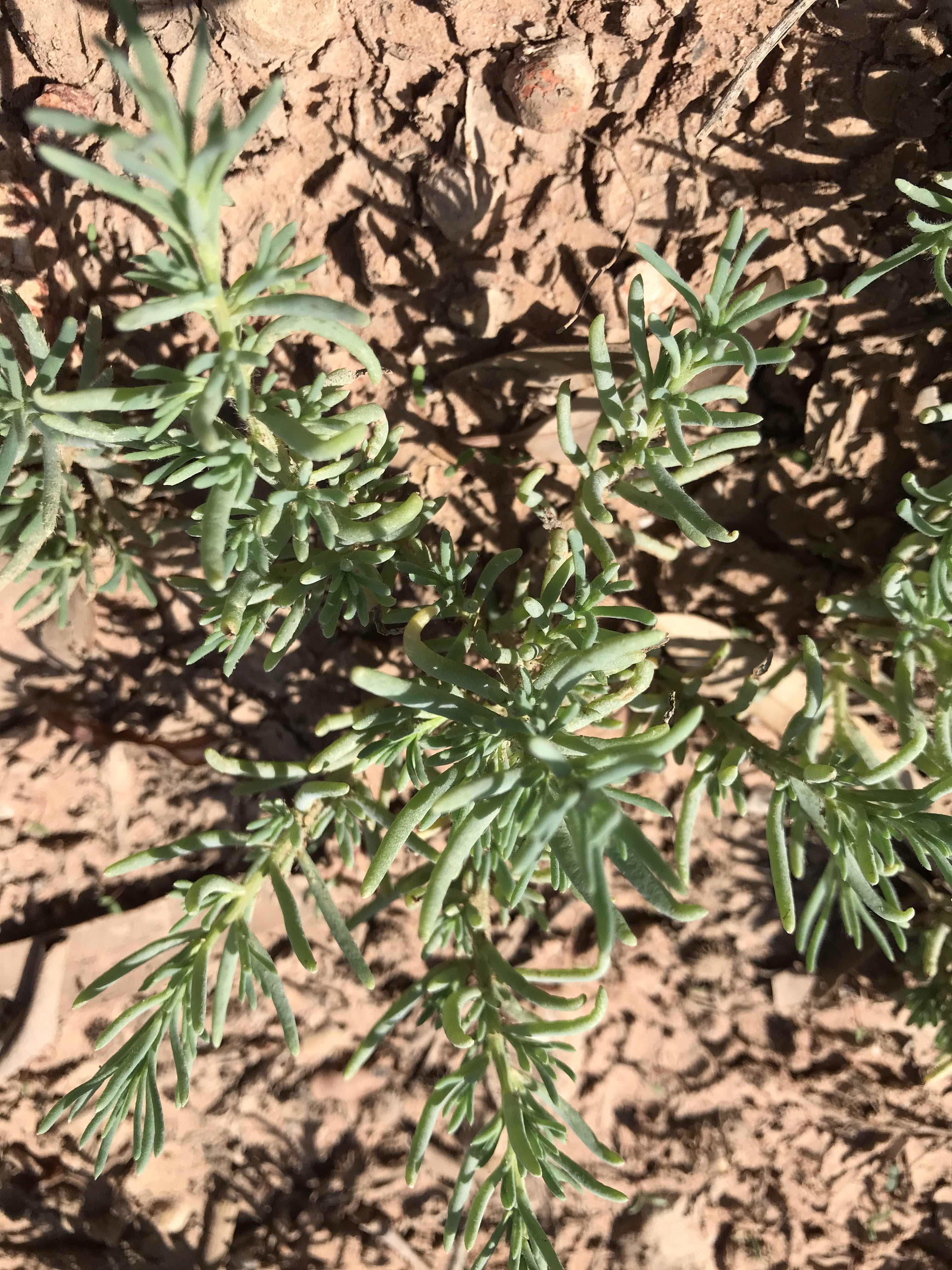
This tiny Chenopod protects itself from water loss and hungry animal mouths with  silky hairs and prickles 
This represents the Brewarrina fish traps
Stunning rock art all around us