Tuesday, 7 August 2018

August 7 Ancient bogs!

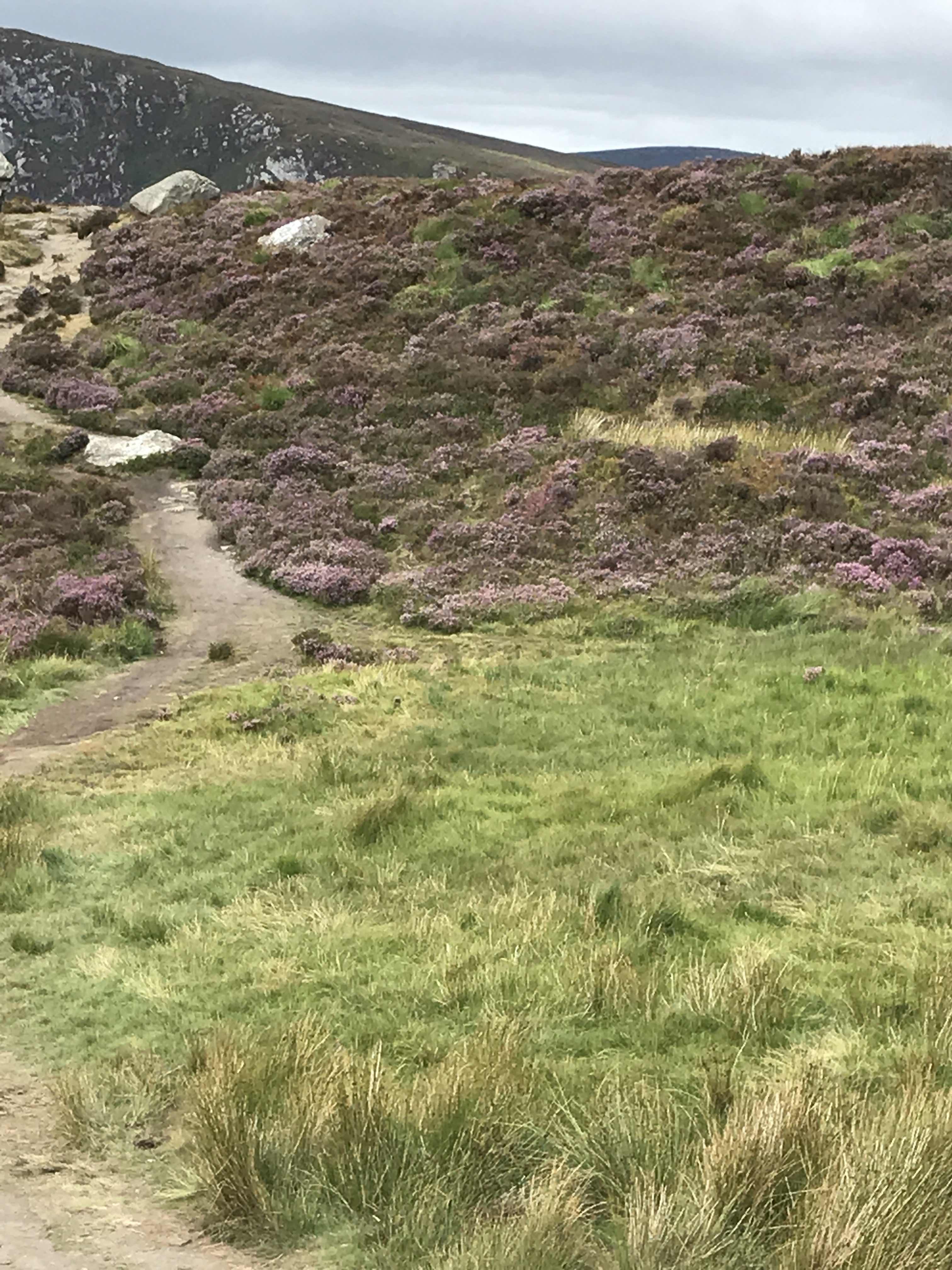
A couple of days ago on our way vaguely northward to Dublin, we headed for a spot on the map, the ‘Bog of Allen’. We had no idea what it might be - other than perhaps a bog! - but it sounded intriguing. We went via Sally Gap in the Wicklow Mountains where we’d been the day before. It was a glorious drive! Along the way, we stopped at a number of spots but at one place, as soon as we stepped out of the car, we could smell the heather which took us both by surprise. It was heavenly, like smelling the lightest and sweetest of honeys. We spent some time just wandering, drinking in the breathtaking beauty and fragrance of the banks of heather and magic of the mountains.  
But the bog .... We eventually found the Bog of Allen Nature Centre. It was fascinating. We had an enthusiastic young chap take us on a personal guided tour of the ‘museum’ which traced the formation of bogs and their place in the lives of the people who live near them and their importance to the environment. I reckon we were there (and in their garden) for close on two hours and learned so much. 
Peat has special properties that enable it to preserve many things and this bog (a raised bog), like others, has revealed many valuable artefacts of archaeological significance. For instance, archaeologists have found wooden walkways constructed in prehistory and into the medieval period. These allowed people and animals to cross the extensive areas of peatland. They even found a large lump of butter 1000 years old which someone had put there, presumably to keep it cool. The bogs also preserve a range of palaeoenvironmental material such as pollen and plants. Other artefacts tell researchers much about the response of past societies to earlier changes in climate. 
Today, rare and endemic species of insects, birds and plants are endangered as many of the bogs are drying up. This is due to a number of ‘practices’, mainly linked toimmediate economic concerns - power generation mostly, but also with agricultural/grazing benefits. I wonder how much the whiskey distillers harvest!?  But there is a glimmer of hope for their future because there is a slowly growing number of concerned people. The Irish Peatland Conservation Council has purchased at least three bogs to try to preserve the uniqueness and importance of bogs. I won’t burble on, but it is interesting and disconcerting.  It took Wilbert, a retired Dutchman, to really fire up the action, having seen how the destruction of the fens and bogs of the Netherlands had impacted his own country. The preservation centre is cared for mainly by volunteers, but the gardener I spoke to, Wilbert, looks after it, mainly on his own. It’s a big job. Enough! I love bogs.   
We have seen quite a lot of large-scale peat cutting as we have travelled - mountain sides and extensive heathland crisscrossed with peat trenches. And in almost every village, we see the piles and bags of peat, as well as bags of munched-up peat for gardens. It is frightening when you consider that it takes at least a year for heathland to breakdown sufficiently to create 1mm of peat. 
One last bit of ‘trivia’ - Lullymore Island is an island of arable land with a wee village totally surrounded by the Bog of Allen. It was chosen as a monastic site by St Patrick in the C5 because of its remoteness and inaccessibility. It existed until C17. But that’s a whole other story. 
Glorious!
More fragrant heather

An extensive part of the hill has been dug away for peat. The trenches are not deep, but they represent the destruction of at least a couple of centuries of growth.
This stone with its etched cross dates back to the original monastery established by St Patrick and run by a Druid who he had converted to Christianity. 
This beautiful little cross delighted me. I saw one in Doolough Valley in the northwest a few weeks ago
A corner of the wonderful garden wilderness at the preservation centre.
Bagged peat
Peat for the village fires. People still love to use it even though they have access to other heating forms

Drying peat - interesting stuff

Monday, 6 August 2018

August 5-6 What a difference a day makes!

Yesterday, we were deep in copper coast country, driving through Copper Coast UNESCO Geopark and then today we were plunged into the heather-covered hills of the Wicklow Mountains National Park and Wicklow Gap. 
The Copper Coast was interesting, or should I say the history of copper in the area was interesting. Did you know? - ‘they’ say that copper was first mined in Mesopotamia over 8000 years ago but wasn’t mined in Britain or Ireland until 4000 years later at the beginning of the Bronze Age. At least as far as they can gather! 
We looked at an old mining site near Bunmahon on the southeast coast, where they estimate the copper may have formed about 350 million years ago. We all have a pretty good idea of many of the uses for copper, but something I didn’t know is that it was used as a fungicide to prevent potato blight - successfully or not, I don’t know. 
Talking of mining, that and quarrying are among the oldest industries in Ireland (and I dare say Scotland also) dating back 9000 years to the Mesolithic era when evidence suggests that people were quarrying flint to fashion axes and other tools. We saw some of that on St Kilda and other Scottish islands where archaeologists have studied Neolithic villages. 
But today! It was a gentle time driving through hills, lush pale green woods and wee villages and then up into the hills of the Wicklow National Park. Deep purple hillsides as far as the eye could see - the heather was a joy to behold. Alongside the heather were suspended loughs and pockets of wooded streams. Quite idyllic! In one place, we drove slowly behind a 'gypsy' caravan for miles - the horses were being led through the hills (further on, we saw a sign saying ‘road unsuitable for horse-drawn vehicles’). 
The Copper Coast on the southern coast of Ireland
The rock strata of the coastline is awe inspiring - it is as if the whole rocky headland has been upended
Heron's Shaft in an abandoned copper mine near Bunmahon that descends over 250m
Ruins of that same abandoned copper mine 

Quaint!

The hills were alive ....... and the air was heady with the sweet honey-smell of the heather
Such a beautiful dell begged us to linger for a while
 Bilberries (Vaccinium myrtillus) were everywhere, growing beside the heather and among the rocks

Saturday, 4 August 2018

August 3-4 the southern tip!

Hooray! We made it to the southernmost tip of mainland Ireland yesterday - Mizen Head. What did we see? Fog, fog and more fog! After all that way .... oh well, them’s the breaks! We got there. 

And went to sleep with the sound of cows lowing and woke this morning to the maniacal hee-hawing of a donkey. Que? Wouldn’t you know it!? It is Bank Holiday weekend in Ireland and the coast is booked out. In the end, we stayed in a gorgeous place inland from the coast at Drimoleague.  It was quite delightful. The host David is an absolute angel, and they put on a country brekky of fresh scones and local butter, jam and yogurt. It is in the heart of the walking network that takes you to heritage, as well as ancient prehistoric sites, and the 37 km Finnbar's Pilgrim Way. It is really beautiful.  In fact, the whole of yesterday, driving around the southern coast, was rather spectacular. Stone Age tombs, rugged rocks, flowers galore, narrow shaded country lanes .... joy, oh joy! But more on that later. 

Today, we reached the end of the Wild Atlantic Way at Kinsale after almost 3000 km. Now, we point our wheels towards Dublin, from whence a plane or two will take us home. Hard to believe - but we are not quite finished yet.

Happy to have reached this point
Looks appropriate in the fog?!
There’s a lighthouse out there somewhere
We got there!
The night before, the caravan park was blanketed in mist, yet people were BBQing and sitting outside for dinner. So different to Aussie summers
After the mist, sunset at Top of the Rock caravan park was lovely
The park has a mini farm with cute animals for the kids to feed


Last night, there was a huge fire burning in this grate. Lovely place.


This beauty came up to say hello to me this morning. Muzzle like velvet. Adorable
This is Old Head. Once a castle and fort, the whole top is now a private golf course!  
Part of the old fortification, now it forms the entrance gates to the golf course.


Yep, that’s me holding up the sign for the Wild Atlantic Way


Lindsay, our mighty driver! Putting his old head close the Old Head sign 


We stopped here for a bite of lunch

Thursday, 2 August 2018

August 1 The Gap of Dunloe in the rain!

There we were, happily bouncing along in our 4-man jaunting car (pony trap), being drenched by rain hurled at us from the mountains surrounding us - joy, oh joy! ..... when the wheels fell off! Well, the wheels didn’t fall off, but one wheel lost its hard rubber tyre and, according to the driver, it seems that was it. (My grandfather was a wheelwright. I wonder what he would have said.) So, what now!? Our driver called for assistance. Hallelujah, and thank goodness for Sat phones. He off-loaded 2 passengers to another cart - leaving me and Lindsay on the roadside - sacre bleu - with mouths open! Wha... !  and half an hour later, when our boots were full of water and we were soaked to the bone - drenched to the skin despite our wet weather gear - help arrived. Not for us the paying customer mind you, but for the bl....... wheel. Hello!? An hour later with two men working on the wheel - while we simply stood in the rain! Wryly, I thought of all those Irish jokes ‘how many etc, etc...’. You need to appreciate that we are a long way from anywhere out here in the mountains. The guys gave up on the wheel and gave us the option of walking through the steep mountain pass to the lakes... hello?, going on by car to the lakes - we were totally wringing wet and only halfway through the Gap with a couple of hours on the lakes still to go in biting wind and rain, OR to abandon our tour and return to the start. Ummmmm .... what to do??  You guessed it. We went back. What a dismal day! Exciting? Weeelll, just a little bit. The scenery, in spite of the shitty weather, was pretty awesome and chugging along in an old horse trap was fun. Let’s say it was an experience!

Take home message for me is DO NOT try to relive memories! I had done this trip back in the 1980s with my kids and wanted Lindsay to experience it. He was ecstatic as you can imagine!! Maybe some new contingency plans need to be considered.

We’re warm and safe in our little van which now looks a bit like a Chinese laundry with our clothes strung about to dry. But onward and southward to the edge of Ireland. 

Such a wee cart!
I think this is where our hearts sank just a wee bit. Look at the sky


Just a tad damp! Despite heavy duty waterproof coat, the rain was running down into my waterproof pants. I’m still smiling - even if you can’t tell !!
Looking cute in spite of the rain. The tarpaulin wasn't a lot of help in this weather - it just funnelled the water under our raincoats
Just the very beginning of the Gap in the distance


The scenery, when you could see it, was rather speccy
My poor darling walking up one hill because the poor horse couldn’t make it with a full load of 4 people!


Getting bleaker - the things tourists do!
Horses not looking too happy! Us?
The sheep, branded in multicolours, were wisely sheltering under a big rock 


The mountains were awesome 
The offending wheel!


Sunday, 29 July 2018

July 29 Almost to the end of the world!

Sorry where was I?  .... After a delicious lunch and reluctantly leaving a gin-tasting at Quinn’s, we piled into a zodiac to take us out to the small boat that would whisk us out past the most western point of mainland Ireland to the Blasket Islands, the most westerly scraps of land in Europe. The origin of the islands’ name is thought to come from the Norse word ‘brasker’, meaning a dangerous place. And therein lies a wee tale. Having travelled through Scotland, particularly the islands, and having been regaled with stories of Viking ‘settlement’ dating back over half a millennium, it was interesting, albeit not surprising, to hear that the Vikings had a strong presence in Ireland in days gone by and that many place names, among other things, bear that heritage. 
Now an uninhabited group of islands, the Blasket Islands were inhabited until 1953 by a completely Irish-speaking population, and today are part of the Gaeltacht, the Irish speaking region through which we have spent a lot of time travelling. In 1953, the inhabitants were evacuated by the government to the mainland (much like what happened at St Kilda and elsewhere at exactly the same time), purportedly because of the declining population and harsh nature of life on the island. 
But to the wonders of the region. We saw masses of seabirds and a special treat was spotting a small pod of the rarely seen Risso Dolphins. One pair was mum and bub surfacing and diving together. They were beautiful to watch. One very large Dolphin, possibly a male, put on a wee show for us - twisting and turning only to splash back into the water. They are close cousins to the larger whales. 
We’ve been travelling on two beautiful peninsulas - Dingle and the Ring of Kerry, with the Skellig Ring an extension of the Ring of Kerry at the end of the peninsula. Magical scenery! Mighty outcrops and cliff of red-purple sandstone. 
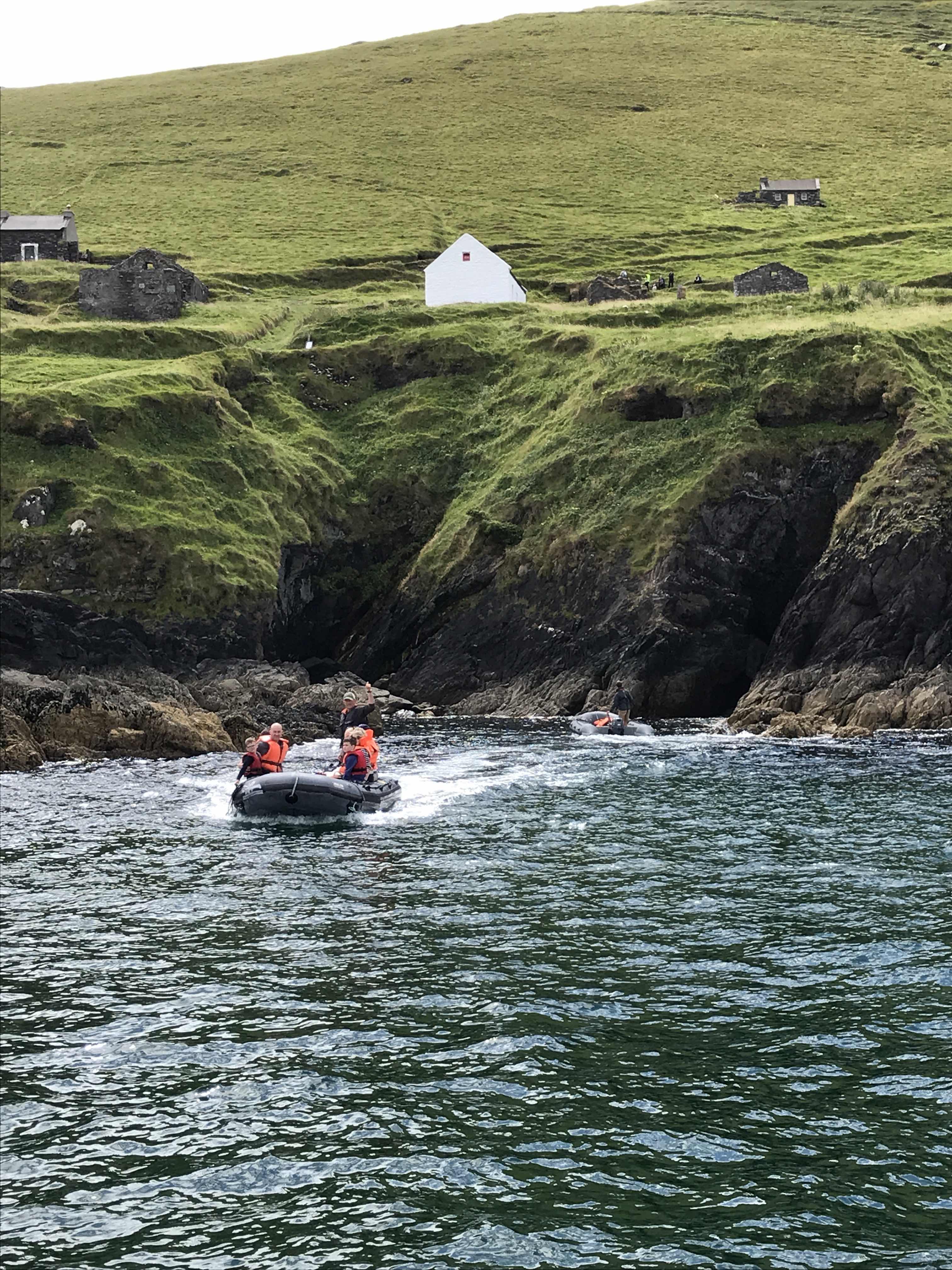
This is the zodiac and its captain to take us out to our boat for the Blasket Islands

Oh, so fetching! You have to smile - if only you can get your chin over the ‘Mae West’

I managed to capture this Risso Dolphin coming up for air
We saw some spectacular skies. This one was over the rugged weatherside Greater Blasket Island.  

On the leeward side are the remains of an earlier settlement of 200-odd people. 
Some of the buildings are being restored to encourage summer visitors. These are cafes plus accommodation 

Cathedral Rock on another of the islands. Jagged and inhospitable.
These must be the cathedral doors!
Looking astern, the water and sky seemed to blend one into the other in a giant foamy mass
Cloud shadows over the hills and the beautiful red sandstone cliffs hemming the mainland

This is a small chunk of the beautiful red sandstone
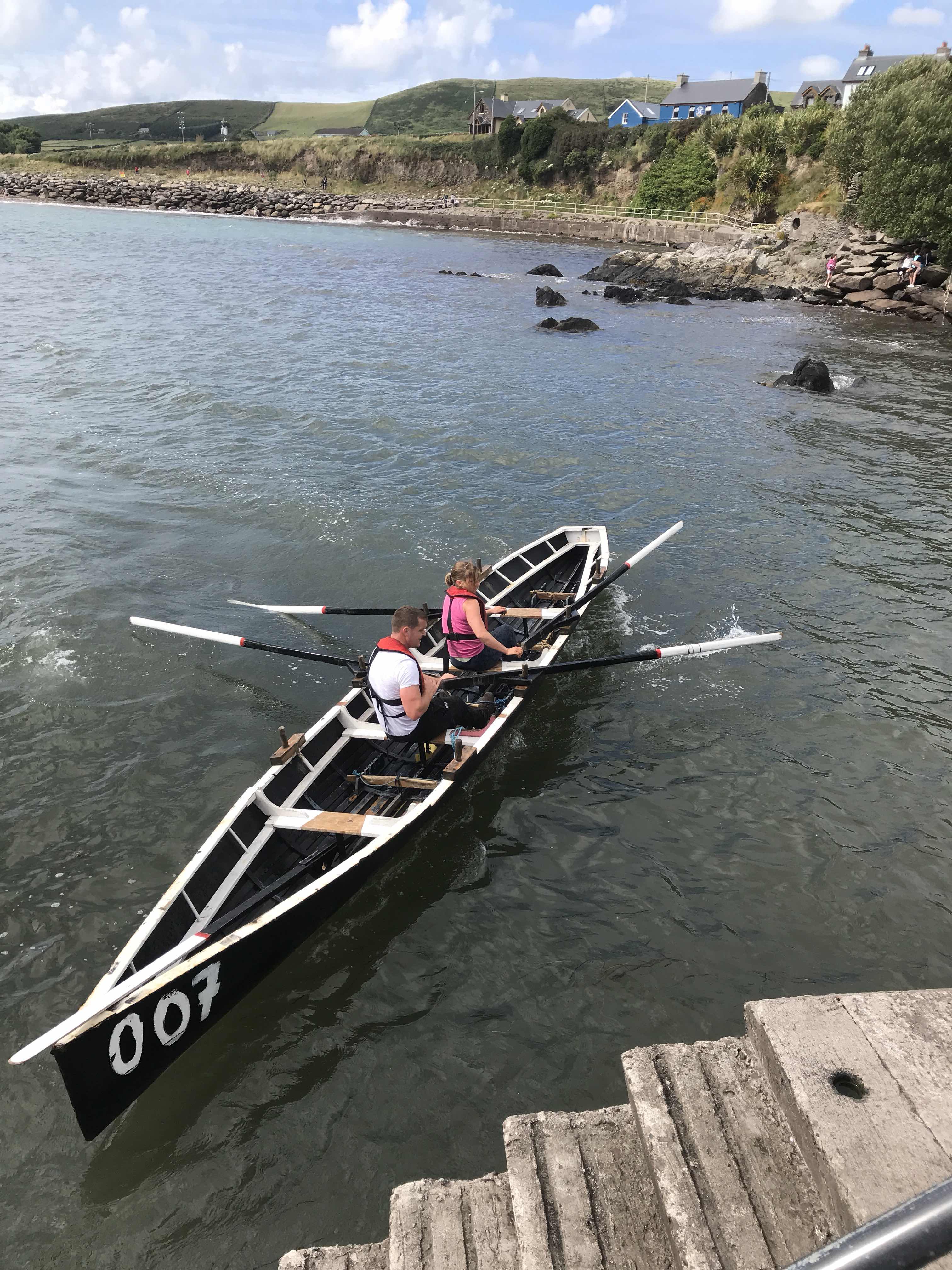
We came back to shore to see the finish of the annual regatta racing in naomhógs - traditional Irish currach (boats) 

This is the road out to the western tippy-tip. Quite a rugged cliff we were hugging!
Rugged and beautiful. This is a pair of Fulmars resting on the wall. They are quiet, gentle birds.

Path and gateway leading to Dunmore Head, the westernmost part of the Dingle Peninsula
We wandered all over Dunmore Head - as far as we dared!
This might be one of the Ogham Stones which feature C4-8th inscriptions in the earliest form of the Irish language
More Ogham Stones perhaps 
A vista to calm the mind